The Collections Story - Maps on the Move!

How many Ordnance Survey (OS) maps do you think we have in the Cheshire Record Office? If you guessed over 5000 then you are on the right path (get it?)!
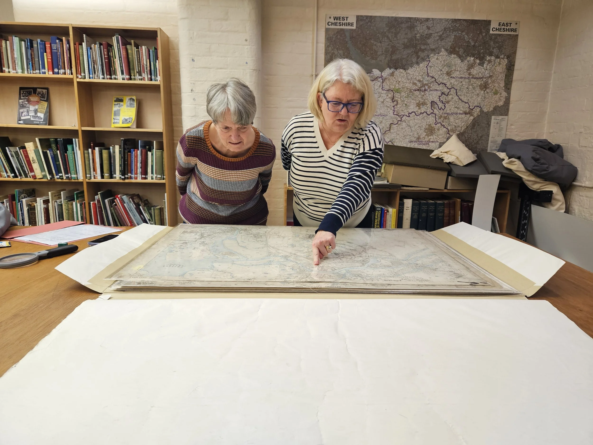
OS maps are one of the largest local studies collections. Until now they could only be accessed by checking a well-thumbed paper index, as many were missing from our online catalogue. But for the last three months a small team has been working through the collection, ensuring that all the maps are where they should be, recorded in the catalogue, and identified with a unique six-digit number.
So far we’ve checked 2125 maps – including large scale Town Plans and all editions of the 25 inch to the mile scale maps issued between 1871 and 1944.
Some surprising additions have been found along the way - mysterious annotations, ink spills, WANTED stamps and watercolouring. We also have clues to where some of these maps may have lived before, from stamps such as ‘John H. Davies & Son, Architects & Surveyors’ and the Salt Union. The names of places and buildings have been very entertaining - who lived in Bogginshill, Snape Farm, Gnat Hole, or Blackdog when these maps were made?


Barney and Phil, two of our brilliant volunteers, have been adding more detail to the information captured about our maps on the catalogue. This includes landscape and transport features, principle buildings and roads, and place names.
The next stage is a repackaging job into new map boxes ready for the move to either new centre or offsite storage. When we re-open, you may find that maps previously stored in the public searchroom will be accessible via the National Library of Scotland website, though maps that are not available online will be held on site.
For now, we will continue to meet every Wednesday for ‘map morning’ and let you know how this project progresses!


By Katie Owen, Local Studies Adviser